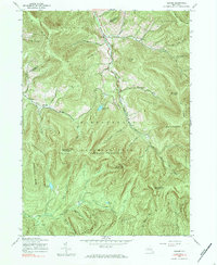
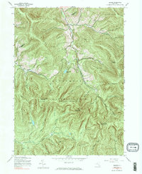
1945 Map of Seager
USGS Topo · Published 1984About this map
Deep in the Catskill Park (Forest Preserve), the landscape of this 1945 survey is defined by high ridges and the winding valleys of the Beaver Kill and Dry Brook. The small settlements of Seager and Mapledale serve as remote outposts along the valley floors, while the surrounding terrain is dominated by peaks like Graham Mountain and Doubletop Mountain. This era captures the Catskills before post-war shifts in forest management, showcasing a network of named hollows and ridges that reflect long-standing local nomenclature.
Find a feature on this map
52 named features on this map. Tap any name to fly to it.
Don’t see what you’re looking for? This feature index may not catch every label — zoom into the map to look around manually.
Map Details
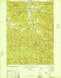
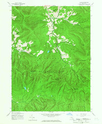
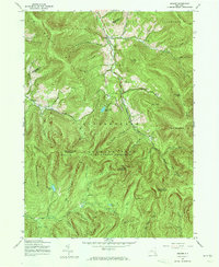
Editions of this 1945 Seager Map
5 editions found
Other maps of this area

1900 · Phoenicia
USGS Topo · 1:62,500

1901 · Margaretville
USGS Topo · 1:62,500

1903 · Phoenicia
USGS Topo · 1:62,500

1903 · Slide Mountain
USGS Topo · 1:62,500

1904 · Margaretville
USGS Topo · 1:62,500

1905 · Slide Mountain
USGS Topo · 1:62,500

1910 · Neversink
USGS Topo · 1:62,500

1942 · Neversink
USGS Topo · 1:62,500

1943 · Peekamoose Mountain
USGS Topo · 1:31,680

1943 · Monticello
USGS Topo · 1:125,000