
1959 Map of Seagoville
USGS Topo · Published 1960About this map
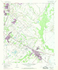
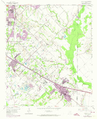
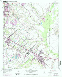
The Seagoville Federal Correctional Institution dominates the central landscape of this 1959 survey, situated just northwest of the growing community of Seagoville. The area reflects a transitional rural-to-suburban character on the outskirts of Dallas, where extensive Gravel Pits and a Fish Hatchery sit alongside winding watercourses like South Mesquite Creek and the East Fork Trinity River.
Find a feature on this map
57 named features on this map. Tap any name to fly to it.
Don’t see what you’re looking for? This feature index may not catch every label — zoom into the map to look around manually.
Map Details
Editions of this 1959 Seagoville Map
4 editions found
Other maps of this area

1891 · Dallas
USGS Topo · 1:125,000

1893 · Dallas
USGS Topo · 1:125,000

1919 · Royse City
USGS Topo · 1:62,500

1954 · Dallas
USGS Topo · 1:250,000

1956 · Kaufman
USGS Topo · 1:62,500

1957 · White Rock Lake
USGS Topo · 1:24,000

1958 · Dallas
USGS Topo · 1:250,000

1958 · Hutchins
USGS Topo · 1:24,000

1958 · White Rock Lake
USGS Topo · 1:24,000

1959 · Mesquite
USGS Topo · 1:24,000