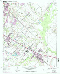
1959 Map of Seagoville
USGS Topo · Published 1974About this map
Seagoville and its surrounding communities in southeast Dallas County appear at a time of transitioning land use, where long-standing family farms meet growing suburban extensions. The Southern Pacific railroad corridor serves as the primary axis for development, passing through Kleberg and past the sprawling Seagoville Federal Correctional Institution. Further north, the landscape remains largely rural, defined by the winding paths of North Mesquite Creek and South Mesquite Creek as they approach the East Fork Trinity River.
Find a feature on this map
53 named features on this map. Tap any name to fly to it.
Don’t see what you’re looking for? This feature index may not catch every label — zoom into the map to look around manually.
Map Details
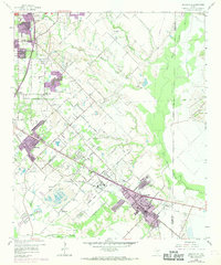
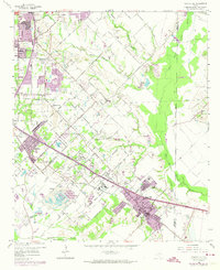
Editions of this 1959 Seagoville Map
4 editions found

Other maps of this area

1891 · Dallas
USGS Topo · 1:125,000

1893 · Dallas
USGS Topo · 1:125,000

1919 · Royse City
USGS Topo · 1:62,500

1954 · Dallas
USGS Topo · 1:250,000

1956 · Kaufman
USGS Topo · 1:62,500

1957 · White Rock Lake
USGS Topo · 1:24,000

1958 · Dallas
USGS Topo · 1:250,000

1958 · Hutchins
USGS Topo · 1:24,000

1958 · White Rock Lake
USGS Topo · 1:24,000

1959 · Mesquite
USGS Topo · 1:24,000