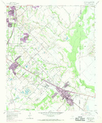
1959 Map of Seagoville
USGS Topo · Published 1969About this map
Seagoville and its surrounding Dallas County settlements are documented here during a period of significant suburban expansion and industrial transition. The map captures the prominent Seagoville Federal Correctional Institution and the alignment of the Southern Pacific railroad, which served as a primary corridor for the region's economy. Extensive extraction operations are visible throughout the landscape, particularly the numerous gravel pits near the Hickory Creek and Bois d'Arc Island Slough areas. Genealogy researchers will find several localized burial sites, including Lumley Cem, Potter Cem, and Lee Cem, alongside community landmarks like Carver Sch. The map also details the complex water network where South Mesquite Creek and North Mesquite Creek converge before joining the East Fork Trinity River, illustrating the natural drainage patterns that influenced local development.
Find a feature on this map
56 named features on this map. Tap any name to fly to it.
Don’t see what you’re looking for? This feature index may not catch every label — zoom into the map to look around manually.
Map Details
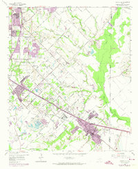
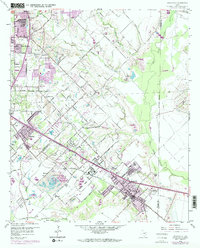
Editions of this 1959 Seagoville Map
4 editions found

Other maps of this area

1891 · Dallas
USGS Topo · 1:125,000

1893 · Dallas
USGS Topo · 1:125,000

1919 · Royse City
USGS Topo · 1:62,500

1954 · Dallas
USGS Topo · 1:250,000

1956 · Kaufman
USGS Topo · 1:62,500

1957 · White Rock Lake
USGS Topo · 1:24,000

1958 · Dallas
USGS Topo · 1:250,000

1958 · Hutchins
USGS Topo · 1:24,000

1958 · White Rock Lake
USGS Topo · 1:24,000

1959 · Mesquite
USGS Topo · 1:24,000