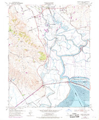
1951 Map of Sears Point
USGS Topo · Published 1969About this map
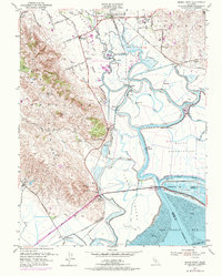
Sonoma Valley meets the tidal marshlands of San Pablo Bay in this mid-century survey, revealing a landscape defined by complex water management and rail transportation. The Northwestern Pacific Railroad and Southern Pacific lines converge near Schellville, anchoring a network of tracks that served the region's agricultural and industrial needs. Levees and pumping stations crisscross the marshes around Tubbs Island and Island No 1, managing the flow of Sonoma Creek and Napa Slough.
Find a feature on this map
55 named features on this map. Tap any name to fly to it.
Don’t see what you’re looking for? This feature index may not catch every label — zoom into the map to look around manually.
Map Details
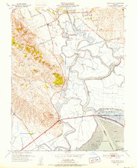
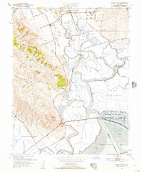
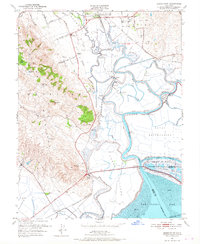
Editions of this 1951 Sears Point Map
5 editions found
Other maps of this area

1902 · Napa
USGS Topo · 1:125,000

1914 · Petaluma
USGS Topo · 1:62,500

1916 · Mare Island
USGS Topo · 1:62,500

1916 · Santa Rosa
USGS Topo · 1:62,500

1942 · Mare Island
USGS Topo · 1:62,500

1942 · Sonoma
USGS Topo · 1:62,500

1942 · Petaluma
USGS Topo · 1:62,500

1944 · Santa Rosa
USGS Topo · 1:62,500

1947 · Santa Rosa
USGS Topo · 1:250,000

1949 · Santa Rosa
USGS Topo · 1:250,000