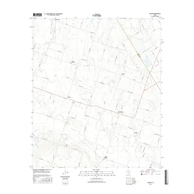
2016 Map of Seaton
USGS Topo · Published 2016About this map
Agricultural life in eastern Bell County defines this 2016 landscape, where a network of rural farm roads connects a string of long-established settlements. Along the transition into Falls County, small communities like Seaton, Zabcikville, and Ratibor remain focal points of the local geography. The area is heavily intersected by the tributaries of Big Elm Cr, with several family-named landmarks and historical sites still marked, such as Seaton Cem and Dyess Cem.
Find a feature on this map
71 named features on this map. Tap any name to fly to it.
Don’t see what you’re looking for? This feature index may not catch every label — zoom into the map to look around manually.
Map Details
Editions of this 2016 Seaton Map
This is the sole edition of this map. No revisions or reprints were ever made.
Other maps of this area

1885 · Taylor
USGS Topo · 1:125,000

1887 · Taylor
USGS Topo · 1:125,000

1892 · Temple
USGS Topo · 1:125,000

1894 · Taylor
USGS Topo · 1:125,000

1931 · Belton
USGS Topo · 1:62,500

1954 · Waco
USGS Topo · 1:250,000

1954 · Austin
USGS Topo · 1:250,000

1955 · Waco
USGS Topo · 1:250,000
1963 · Yarrelton
USGS Topo · 1:24,000
1963 · Westphalia
USGS Topo · 1:24,000