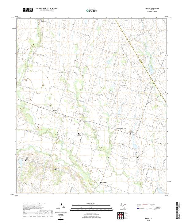
2022 Map of Seaton
USGS Topo · Published 2022About this map
Seaton and the surrounding rural communities of Bell County define this landscape of winding creeks and family-named landmarks. The area is characterized by a dense network of country roads, including the Cen-Tex Loop and Airville Loop, which connect small settlements like Zabcikville, Ratibor, and Cyclone. This map is particularly valuable for genealogists, as it meticulously documents numerous burial grounds such as the Ocker Brethren Church Cem, Leiskar Family Cem, and Dyess Grove Cem.
Find a feature on this map
84 named features on this map. Tap any name to fly to it.
Don’t see what you’re looking for? This feature index may not catch every label — zoom into the map to look around manually.
Map Details
Editions of this 2022 Seaton Map
This is the sole edition of this map. No revisions or reprints were ever made.
Other maps of this area

1885 · Taylor
USGS Topo · 1:125,000

1887 · Taylor
USGS Topo · 1:125,000

1892 · Temple
USGS Topo · 1:125,000

1894 · Taylor
USGS Topo · 1:125,000

1931 · Belton
USGS Topo · 1:62,500

1954 · Waco
USGS Topo · 1:250,000

1954 · Austin
USGS Topo · 1:250,000

1955 · Waco
USGS Topo · 1:250,000
1963 · Yarrelton
USGS Topo · 1:24,000
1963 · Westphalia
USGS Topo · 1:24,000