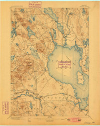
1896 Map of Sebago
USGS Topo · Published 1900About this map
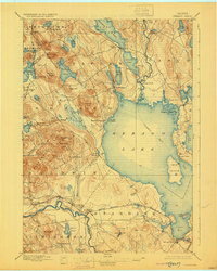
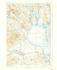
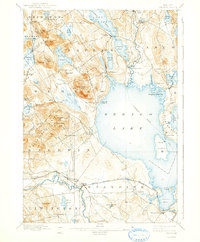
Sebago Lake dominates this inland Maine landscape, serving as a primary corridor for commerce and travel at the turn of the century. The established Steamboat Route traces a path through the open water, connecting to Long Lake via the Songo River and its critical Songo Lock. This waterway system was essential for moving timber and goods between the lakeside villages. On the western shores, rugged terrain is marked by family-named landmarks such as Douglas Hill and Webb Rowe Hill, while the Saco River defines the southern boundary near the settlement of Steep Falls. Small communities like Naples and South Casco anchor the shoreline, reflecting a pre-automotive era where water and rail were the lifeblood of Cumberland and York counties.
Find a feature on this map
82 named features on this map. Tap any name to fly to it.
Don’t see what you’re looking for? This feature index may not catch every label — zoom into the map to look around manually.
Map Details
Editions of this 1896 Sebago Map
8 editions found
Other maps of this area

1891 · Portland
USGS Topo · 1:62,500

1891 · Buxton
USGS Topo · 1:62,500

1891 · Newfield
USGS Topo · 1:62,500

1892 · Buxton
USGS Topo · 1:62,500

1893 · Portland
USGS Topo · 1:62,500

1893 · Buxton
USGS Topo · 1:62,500

1893 · Newfield
USGS Topo · 1:62,500

1894 · Gray
USGS Topo · 1:62,500

1896 · Norway
USGS Topo · 1:62,500

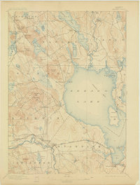
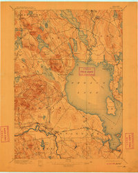
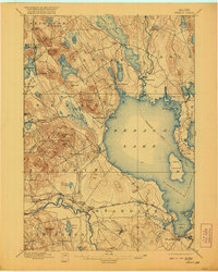
1896 · Sebago
USGS Topo · 1:62,500