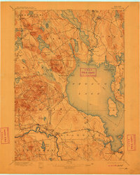
1896 Map of Sebago
USGS Topo · Published 1911About this map
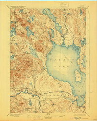
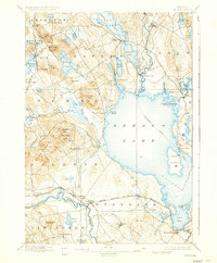
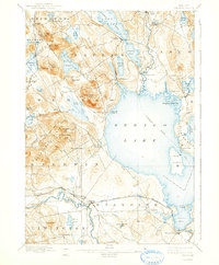
Sebago Lake dominates this southern Maine landscape, serving as a hub for late 19th-century water transit. A marked Steamboat Route tracks across the water, connecting the lake through the Songo River and Songo Lock to Long Lake in the north. This intricate network of waterways was essential for moving goods and people before the full expansion of overland routes. Along the southern edge, the Maine Central R. R. (White Mountains Line) follows the course of the Saco River, passing through the settlement at Steep Falls. Small villages and milling sites like Cooks Mills, Edes Falls, and North Baldwin are scattered throughout the hills. High points such as Bald Pate and Douglas Hill overlook numerous smaller bodies of water, including Peabody Pond and Hancock Pond, illustrating the glacial geography of the Cumberland and York county borderlands.
Find a feature on this map
81 named features on this map. Tap any name to fly to it.
Don’t see what you’re looking for? This feature index may not catch every label — zoom into the map to look around manually.
Map Details
Editions of this 1896 Sebago Map
8 editions found
Other maps of this area

1891 · Portland
USGS Topo · 1:62,500

1891 · Buxton
USGS Topo · 1:62,500

1891 · Newfield
USGS Topo · 1:62,500

1892 · Buxton
USGS Topo · 1:62,500

1893 · Portland
USGS Topo · 1:62,500

1893 · Buxton
USGS Topo · 1:62,500

1893 · Newfield
USGS Topo · 1:62,500

1894 · Gray
USGS Topo · 1:62,500

1896 · Norway
USGS Topo · 1:62,500

1896 · Sebago
USGS Topo · 1:62,500