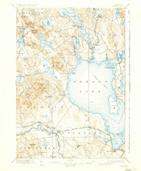
1896 Map of Sebago
USGS Topo · Published 1937About this map
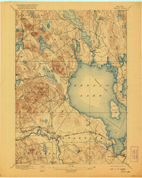
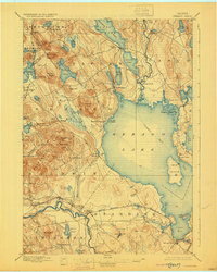
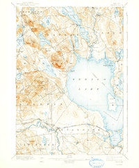
Sebago Lake dominates the center of this Maine landscape, serving as a critical nexus for transportation and recreation in the late nineteenth century. The presence of a marked Steamboat Route crossing from the main lake through the Songo River to Long Lake highlights the era's reliance on waterborne travel before the full dominance of the automobile. The Songo Lock remains a focal point for navigation between these major bodies of water, while the Maine Central R. R. skirts the southern edge of the sheet, connecting settlements like Steep Falls and Richville. Small villages such as Naples, South Casco, and North Sebago are shown in their historic configurations, surrounded by numerous ponds and family-named elevations like Douglas Hill and Webb Rowe Hill. The map also captures the intricate network of brooks and rivers, including the Crooked River and Muddy River, which fed the region's early industries and timber operations.
Find a feature on this map
85 named features on this map. Tap any name to fly to it.
Don’t see what you’re looking for? This feature index may not catch every label — zoom into the map to look around manually.
Map Details
Editions of this 1896 Sebago Map
8 editions found
Other maps of this area

1891 · Portland
USGS Topo · 1:62,500

1891 · Buxton
USGS Topo · 1:62,500

1891 · Newfield
USGS Topo · 1:62,500

1892 · Buxton
USGS Topo · 1:62,500

1893 · Portland
USGS Topo · 1:62,500

1893 · Buxton
USGS Topo · 1:62,500

1893 · Newfield
USGS Topo · 1:62,500

1894 · Gray
USGS Topo · 1:62,500

1896 · Norway
USGS Topo · 1:62,500

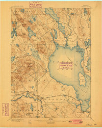
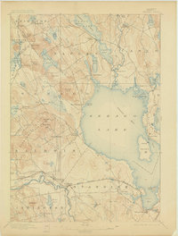
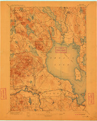
1896 · Sebago
USGS Topo · 1:62,500