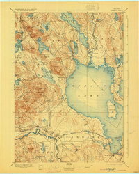
1896 Map of Sebago
USGS Topo · Published 1929About this map
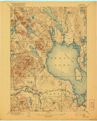
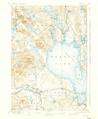
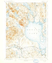
Sebago Lake dominates this late-nineteenth-century landscape, serving as a vital corridor for the Steamboat Route that connected the inland waters of Long Lake and Brandy Pond via the Songo River. The complex navigation through Songo Lock and the winding Crooked River illustrates the importance of water transport before the full expansion of overland infrastructure. While the southern end of the sheet is anchored by the Maine Central RR passing through Steep Falls and Richville, much of the region remains defined by a cluster of scattered villages like South Bridgton, Naples, and South Casco. The topography rises sharply west of the lake at Douglas Hill and Peaked Hills, while the eastern shore is marked by the prominent Raymond Neck and the legend of Fryes Leap. Small mills and settlements like Cooks Mills and Edes Falls suggest a localized rural economy centered on the region's abundant ponds and brooks.
Find a feature on this map
87 named features on this map. Tap any name to fly to it.
Don’t see what you’re looking for? This feature index may not catch every label — zoom into the map to look around manually.
Map Details
Editions of this 1896 Sebago Map
8 editions found
Other maps of this area

1891 · Portland
USGS Topo · 1:62,500

1891 · Buxton
USGS Topo · 1:62,500

1891 · Newfield
USGS Topo · 1:62,500

1892 · Buxton
USGS Topo · 1:62,500

1893 · Portland
USGS Topo · 1:62,500

1893 · Buxton
USGS Topo · 1:62,500

1893 · Newfield
USGS Topo · 1:62,500

1894 · Gray
USGS Topo · 1:62,500

1896 · Norway
USGS Topo · 1:62,500

1896 · Sebago
USGS Topo · 1:62,500