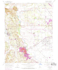
1954 Map of Sebastopol
USGS Topo · Published 1969About this map
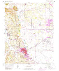
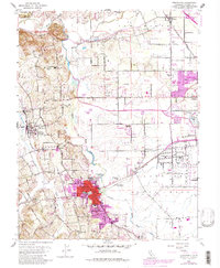
Sebastopol serves as the focal point for this mid-century survey of the Russian River Valley and the Santa Rosa Plain. The town's expansion is visible through urban revisions, showing its growth around Analy Union High Sch and Parkside Sch. To the east, the sprawling Naval Auxiliary Air Station dominates the landscape near Wright Sch, while the Northwestern Pacific railroad tracks bisect the region, connecting the small community of Fulton to the larger centers.
Find a feature on this map
47 named features on this map. Tap any name to fly to it.
Don’t see what you’re looking for? This feature index may not catch every label — zoom into the map to look around manually.
Map Details
Editions of this 1954 Sebastopol Map
6 editions found
Other maps of this area

1916 · Santa Rosa
USGS Topo · 1:62,500

1920 · Healdsburg
USGS Topo · 1:62,500

1927 · Calistoga
USGS Topo · 1:62,500

1933 · Healdsburg
USGS Topo · 1:48,000

1935 · Sebastopol
USGS Topo · 1:48,000

1940 · Healdsburg
USGS Topo · 1:62,500

1942 · Sebastopol
USGS Topo · 1:62,500

1943 · Calistoga
USGS Topo · 1:62,500

1944 · Santa Rosa
USGS Topo · 1:62,500

1945 · Calistoga
USGS Topo · 1:62,500