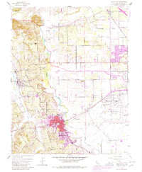
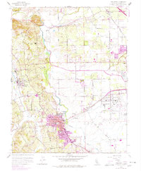
1954 Map of Sebastopol
USGS Topo · Published 1980About this map
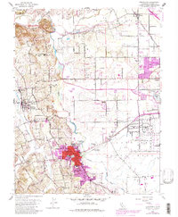
Sebastopol and the agricultural lands of western Sonoma County are captured in this mid-century survey, updated through 1980 to show the burgeoning urban footprint of Santa Rosa. The landscape is a network of small settlements and educational outposts, including Olivet Sch, Vine Hill Sch, and the Hall Sch (Abandoned), suggesting a rural school system in transition. The Laguna de Santa Rosa and Mark West Creek define the low-lying drainage patterns that historically influenced the placement of early ranching and farming operations.
Find a feature on this map
41 named features on this map. Tap any name to fly to it.
Don’t see what you’re looking for? This feature index may not catch every label — zoom into the map to look around manually.
Map Details
Editions of this 1954 Sebastopol Map
6 editions found
Other maps of this area

1916 · Santa Rosa
USGS Topo · 1:62,500

1920 · Healdsburg
USGS Topo · 1:62,500

1927 · Calistoga
USGS Topo · 1:62,500

1933 · Healdsburg
USGS Topo · 1:48,000

1935 · Sebastopol
USGS Topo · 1:48,000

1940 · Healdsburg
USGS Topo · 1:62,500

1942 · Sebastopol
USGS Topo · 1:62,500

1943 · Calistoga
USGS Topo · 1:62,500

1944 · Santa Rosa
USGS Topo · 1:62,500

1945 · Calistoga
USGS Topo · 1:62,500