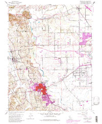
1954 Map of Sebastopol
USGS Topo · Published 1983About this map
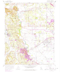
Sebastopol stands as a significant hub in Sonoma County, shown here at a moment when the regional economy was deeply tied to the fertile lands of the Llano de Santa Rosa. The landscape is defined by the winding course of the Laguna de Santa Rosa and Mark West Creek, which served as natural boundaries for early land divisions. Education is a prominent theme on this sheet, with numerous rural schools such as Oak Grove Union Sch, Olivet Sch, and the centrally located Analy Union High Sch supporting the dispersed agrarian community.
Find a feature on this map
52 named features on this map. Tap any name to fly to it.
Don’t see what you’re looking for? This feature index may not catch every label — zoom into the map to look around manually.
Map Details
Editions of this 1954 Sebastopol Map
6 editions found
Other maps of this area

1916 · Santa Rosa
USGS Topo · 1:62,500

1920 · Healdsburg
USGS Topo · 1:62,500

1927 · Calistoga
USGS Topo · 1:62,500

1933 · Healdsburg
USGS Topo · 1:48,000

1935 · Sebastopol
USGS Topo · 1:48,000

1940 · Healdsburg
USGS Topo · 1:62,500

1942 · Sebastopol
USGS Topo · 1:62,500

1943 · Calistoga
USGS Topo · 1:62,500

1944 · Santa Rosa
USGS Topo · 1:62,500

1945 · Calistoga
USGS Topo · 1:62,500