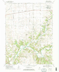
1970 Map of Secor
USGS Topo · Published 1972About this map
The Toledo Peoria and Western railroad cuts across the northern landscape, anchoring the village of Secor, while the winding MackinaW River defines the southern portion of this Woodford County quadrangle. This 1970 snapshot reveals a rural interior shaped by its watercourses and early cultural landmarks, including the Nichols Mound (Indian Mound) situated on a bluff overlooking the river valley. The map documents several local burial grounds such as Secor Cem and the Mennonite Cem, reflecting the area's deep-rooted community history and religious heritage, further evidenced by the Apostolic Christian Ch near the southern border.
Find a feature on this map
25 named features on this map. Tap any name to fly to it.
Don’t see what you’re looking for? This feature index may not catch every label — zoom into the map to look around manually.
Map Details
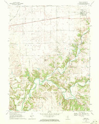
Editions of this 1970 Secor Map
2 editions found
Other maps of this area

1893 · Metamora
USGS Topo · 1:62,500

1927 · Danvers
USGS Topo · 1:62,500

1928 · Mackinaw
USGS Topo · 1:62,500

1930 · Danvers
USGS Topo · 1:62,500

1932 · Mackinaw
USGS Topo · 1:62,500

1937 · Metamora
USGS Topo · 1:62,500

1948 · Metamora
USGS Topo · 1:62,500

1955 · Minonk
USGS Topo · 1:62,500

1958 · Peoria
USGS Topo · 1:250,000

1961 · Peoria
USGS Topo · 1:250,000