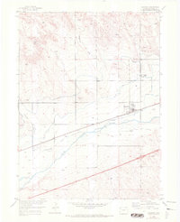
1953 Map of Sedgwick
USGS Topo · Published 1972About this map
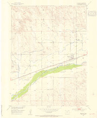
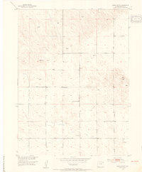
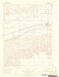
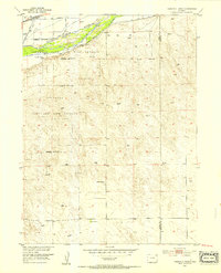
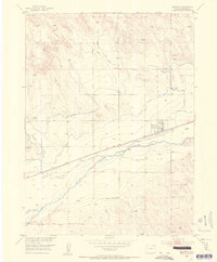
The South Platte River valley defines this agricultural landscape in northeastern Colorado, where the town of Sedgwick stands as a central hub for transport and irrigation. The town's grid is positioned just north of the Union Pacific railroad line, illustrating the critical link between the rails and the river-fed valley. The map reveals an extensive network of water management systems essential to the region's farming, including the Highline Canal, Settlers Ditch, and Peterson Ditch. These man-made channels diverge from the river's natural course to support the surrounding plains. To the north, the terrain transitions into the dry breaks of Sedgwick Draw as it nears the state line. Local history is anchored by features like the Sedgwick Cemetery and several Gravel Pits, which indicate the small-scale industrial activities of the era.
Find a feature on this map
12 named features on this map. Tap any name to fly to it.
Don’t see what you’re looking for? This feature index may not catch every label — zoom into the map to look around manually.
Map Details
Editions of this 1953 Sedgwick Map
3 editions found
Other maps of this area

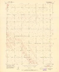
1899 · Sidney
USGS Topo · 1:125,000
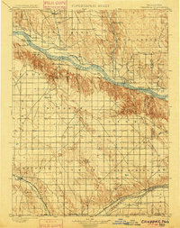
1900 · Chappell
USGS Topo · 1:125,000
1952 · Julesburg SW
USGS Topo · 1:24,000
1952 · Marks Butte
USGS Topo · 1:24,000
1953 · Ovid
USGS Topo · 1:24,000
1953 · Tamarack Ranch
USGS Topo · 1:24,000
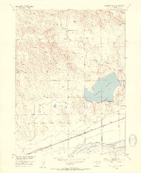
1953 · Julesburg Reservoir
USGS Topo · 1:24,000
1953 · Sedgwick
USGS Topo · 1:24,000

1954 · Sterling
USGS Topo · 1:250,000

1954 · Scottsbluff
USGS Topo · 1:250,000