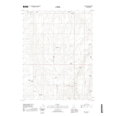
2020 Map of Seep Canyon
USGS Topo · Published 2020About this map
Seep Ridge and Monument Ridge dominate this section of the Uintah County high country, where a complex network of deep drainage systems has carved the plateau into a series of isolated points and ridges. The landscape is defined by its seasonal water sources and historical transit routes, notably Jacks Wagon Road Canyon and Willow Canyon Rd, which follow the natural contours of the terrain to provide passage between the uplands and the canyon floors. Small, vital water points like Willow Spring represent the scarce resources that once supported ranching or travel through this arid environment.
Find a feature on this map
44 named features on this map. Tap any name to fly to it.
Don’t see what you’re looking for? This feature index may not catch every label — zoom into the map to look around manually.
Map Details
Editions of this 2020 Seep Canyon Map
This is the sole edition of this map. No revisions or reprints were ever made.
Other maps of this area

1885 · East Tavaputs
USGS Topo · 1:250,000

1956 · Grand Junction
USGS Topo · 1:250,000

1959 · Grand Junction
USGS Topo · 1:250,000

1960 · Grand Junction
USGS Topo · 1:250,000

1962 · Grand Junction
USGS Topo · 1:250,000

1964 · Grand Junction
USGS Topo · 1:250,000

1965 · Grand Junction
USGS Topo · 1:250,000

1966 · Seep Canyon
USGS Topo · 1:24,000

1966 · Bates Knolls
USGS Topo · 1:24,000

1966 · Tom Patterson Canyon
USGS Topo · 1:24,000