
1966 Map of Tom Patterson Canyon
USGS Topo · Published 1970About this map
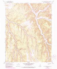
Mc Cook Ridge and Rat Hole Ridge dominate this corner of Uintah County, where the topography is defined by deeply incised canyons and high terminal points. The 1960s landscape shows a clear reliance on isolated water sources, marking several specific locations such as Tom Patterson Spring, Black Horse Spring, and Sweet Water Spring. A notable industrial artifact is the alignment of the South Canyon Railroad, which snakes through the southern drainage near South Canyon.
Find a feature on this map
28 named features on this map. Tap any name to fly to it.
Don’t see what you’re looking for? This feature index may not catch every label — zoom into the map to look around manually.
Map Details
Editions of this 1966 Tom Patterson Canyon Map
2 editions found
Other maps of this area

1885 · East Tavaputs
USGS Topo · 1:250,000

1956 · Grand Junction
USGS Topo · 1:250,000

1959 · Grand Junction
USGS Topo · 1:250,000

1960 · Grand Junction
USGS Topo · 1:250,000

1962 · Grand Junction
USGS Topo · 1:250,000

1964 · Grand Junction
USGS Topo · 1:250,000

1965 · Grand Junction
USGS Topo · 1:250,000

1966 · Seep Canyon
USGS Topo · 1:24,000
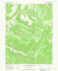
1966 · Rat Hole Ridge
USGS Topo · 1:24,000
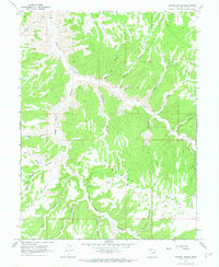
1966 · Copper Canyon
USGS Topo · 1:24,000