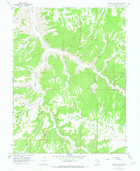
1966 Map of Copper Canyon
USGS Topo · Published 1970About this map
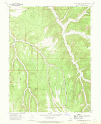
Bitter Creek winds through a deeply dissected landscape in this mid-1960s survey of Uintah County. The terrain is defined by a network of steep drainages with evocative names such as Death Trap Canyon, Suicide Canyon, and Klondike Canyon. These deep cuts separate broad, high plateaus including Indian Ridge and the prominent Mc Cook Ridge, where human activity centers on resource extraction and remote access.
Find a feature on this map
25 named features on this map. Tap any name to fly to it.
Don’t see what you’re looking for? This feature index may not catch every label — zoom into the map to look around manually.
Map Details
Editions of this 1966 Copper Canyon Map
2 editions found
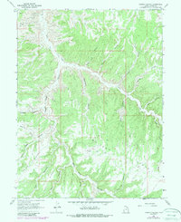
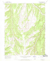
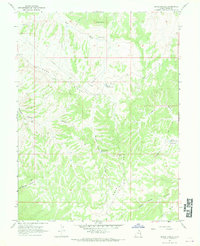
Other maps of this area

1885 · East Tavaputs
USGS Topo · 1:250,000

1956 · Grand Junction
USGS Topo · 1:250,000

1959 · Grand Junction
USGS Topo · 1:250,000

1960 · Grand Junction
USGS Topo · 1:250,000

1962 · Grand Junction
USGS Topo · 1:250,000

1964 · Grand Junction
USGS Topo · 1:250,000

1965 · Grand Junction
USGS Topo · 1:250,000
1966 · Seep Canyon
USGS Topo · 1:24,000
1966 · Bates Knolls
USGS Topo · 1:24,000
1966 · Tom Patterson Canyon
USGS Topo · 1:24,000