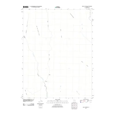
2011 Map of Sego Canyon
USGS Topo · Published 2011About this map
Sego is the primary point of interest in this 2011 survey, situated within the deep drainage of Sego Canyon. The landscape is dominated by a complex network of dry washes and steep-walled canyons, including Thompson Canyon and Sagers Canyon. Local history is anchored at the Sego Cemetery, located just south of the main settlement area where Sego Canyon Rd follows the winding path of Thompson Wash. The map illustrates the convergence of several significant geographic features, such as Right Hand Thompson Canyon and Renegade Canyon, which feed into the larger wash systems. This modern topographic record captures the remote desert geography of Grand County, showing the proximity of landmarks like Nash Wash and Blaze Canyon to the former coal mining hub of Sego.
Find a feature on this map
15 named features on this map. Tap any name to fly to it.
Don’t see what you’re looking for? This feature index may not catch every label — zoom into the map to look around manually.
Map Details
Editions of this 2011 Sego Canyon Map
This is the sole edition of this map. No revisions or reprints were ever made.
Other maps of this area

1885 · East Tavaputs
USGS Topo · 1:250,000

1885 · La Sal
USGS Topo · 1:250,000

1956 · Moab
USGS Topo · 1:250,000

1956 · Grand Junction
USGS Topo · 1:250,000

1958 · Crescent Junction
USGS Topo · 1:62,500

1958 · Thompson
USGS Topo · 1:62,500

1959 · Grand Junction
USGS Topo · 1:250,000

1959 · Moab
USGS Topo · 1:250,000

1960 · Moab
USGS Topo · 1:250,000

1960 · Grand Junction
USGS Topo · 1:250,000