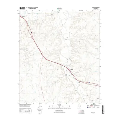
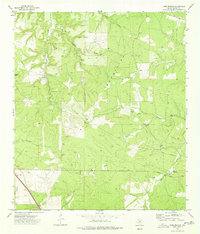
2016 Map of Segovia
USGS Topo · Published 2016About this map
Junction and the small settlement of Segovia anchor this Central Texas landscape where the Llano River meets a complex network of draws and hollows. The terrain is defined by deep incisions like Stroope Canyon and Holden Hollow, which lead down toward the primary watercourses of Johnson Fork and Sycamore Cr. This survey illustrates the modern transportation corridor where the State Highway 27 Bridge crosses the landscape, superseding older routes like the Old Segovia Wulbs Rd.
Find a feature on this map
33 named features on this map. Tap any name to fly to it.
Don’t see what you’re looking for? This feature index may not catch every label — zoom into the map to look around manually.
Map Details
Editions of this 2016 Segovia Map
This is the sole edition of this map. No revisions or reprints were ever made.
Other maps of this area

1932 · Junction
USGS Topo · 1:62,500

1954 · Llano
USGS Topo · 1:250,000

1955 · Llano
USGS Topo · 1:250,000

1956 · Llano
USGS Topo · 1:250,000

1968 · Yates
USGS Topo · 1:24,000

1970 · Elm Slough
USGS Topo · 1:24,000
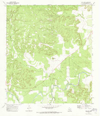
1970 · Big Draw
USGS Topo · 1:24,000
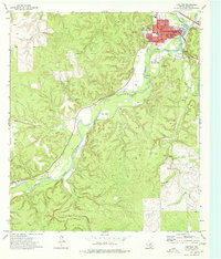
1974 · Junction
USGS Topo · 1:24,000
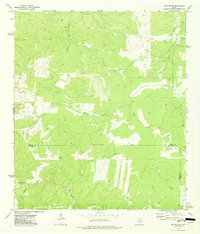
1974 · Junction SE
USGS Topo · 1:24,000
1974 · Tobe Branch
USGS Topo · 1:24,000