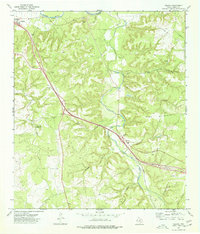
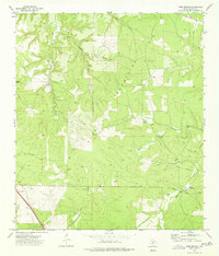
1974 Map of Segovia
USGS Topo · Published 1977About this map
The Llano River and its complex network of seasonal tributaries carve through the limestone landscape of the Edwards Plateau in this mid-1970s survey. The settlement of Segovia serves as a central point along the Johnson Fork, where the modern interstate corridor parallels the traditional route of the Old Segovia Road. This era captures the transition of the Hill Country as transportation networks matured, while local landmarks like Schrier Cem and small communities such as Nethery and Holden preserve the footprint of earlier ranching families.
Find a feature on this map
32 named features on this map. Tap any name to fly to it.
Don’t see what you’re looking for? This feature index may not catch every label — zoom into the map to look around manually.
Map Details
Editions of this 1974 Segovia Map
This is the sole edition of this map. No revisions or reprints were ever made.
Other maps of this area

1932 · Junction
USGS Topo · 1:62,500

1954 · Llano
USGS Topo · 1:250,000

1955 · Llano
USGS Topo · 1:250,000

1956 · Llano
USGS Topo · 1:250,000

1968 · Yates
USGS Topo · 1:24,000

1970 · Elm Slough
USGS Topo · 1:24,000
1970 · Big Draw
USGS Topo · 1:24,000
1974 · Junction
USGS Topo · 1:24,000
1974 · Junction SE
USGS Topo · 1:24,000
1974 · Tobe Branch
USGS Topo · 1:24,000