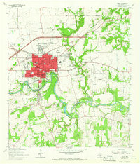
1964 Map of Seguin
USGS Topo · Published 1966About this map
The Guadalupe River snakes through the heart of this mid-century Texas landscape, defining the layout of Seguin and its industrial and recreational infrastructure. The river's path is managed by the Nolte Dam, which creates Meadow Lake to the south, while the Power Plant and Filtration Plant emphasize the waterway's role in local utility. The urban center is densely developed around the Courthouse and Bauer Park, with the Southern Pacific railroad cutting a clear east-west line through the northern neighborhoods.
Find a feature on this map
46 named features on this map. Tap any name to fly to it.
Don’t see what you’re looking for? This feature index may not catch every label — zoom into the map to look around manually.
Map Details
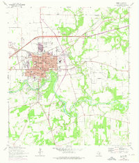
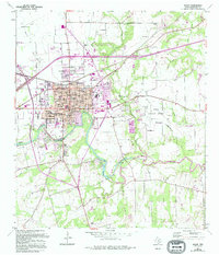
Editions of this 1964 Seguin Map
3 editions found
Other maps of this area

1911 · San Marcos
USGS Topo · 1:125,000

1919 · San Marcos
USGS Topo · 1:125,000

1920 · Smiley
USGS Topo · 1:125,000

1924 · New Braunfels No 4
USGS Topo · 1:48,000

1924 · San Marcos 3-c
USGS Topo · 1:48,000

1924 · San Marcos 3-d
USGS Topo · 1:48,000

1925 · New Braunfels No 1
USGS Topo · 1:48,000

1927 · New Braunfels
USGS Topo · 1:62,500

1930 · Seguin
USGS Topo · 1:62,500

1942 · Dewville
USGS Topo · 1:62,500