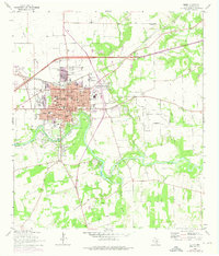
1964 Map of Seguin
USGS Topo · Published 1975About this map
Seguin sits at a geographic crossroads in south central Texas, where the Southern Pacific railroad meets the winding Guadalupe River. The 1964 topography, later revised with 1973 aerial data, captures a community balanced between its academic and civic core. The campus of Texas Lutheran College and numerous local schools like Saegert Jr H S and Ball High Sch serve the residential center, while the Guadalupe Valley Hospital and the central Courthouse anchor the city's infrastructure.
Find a feature on this map
51 named features on this map. Tap any name to fly to it.
Don’t see what you’re looking for? This feature index may not catch every label — zoom into the map to look around manually.
Map Details
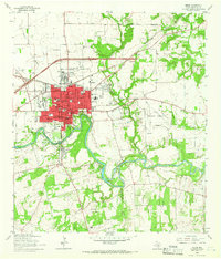
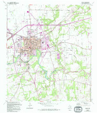
Editions of this 1964 Seguin Map
3 editions found
Other maps of this area

1911 · San Marcos
USGS Topo · 1:125,000

1919 · San Marcos
USGS Topo · 1:125,000

1920 · Smiley
USGS Topo · 1:125,000

1924 · New Braunfels No 4
USGS Topo · 1:48,000

1924 · San Marcos 3-c
USGS Topo · 1:48,000

1924 · San Marcos 3-d
USGS Topo · 1:48,000

1925 · New Braunfels No 1
USGS Topo · 1:48,000

1927 · New Braunfels
USGS Topo · 1:62,500

1930 · Seguin
USGS Topo · 1:62,500

1942 · Dewville
USGS Topo · 1:62,500