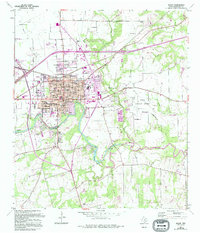
1964 Map of Seguin
USGS Topo · Published 1994About this map
The city of Seguin serves as the focal point of this South Texas landscape, where the Guadalupe River curves sharply through the terrain. The mid-century urban core is well-defined by a dense grid of streets including Mill Ave and E Court St, surrounded by vital community institutions like Guadalupe Valley Hospital and Texas Lutheran Ave. Outside the main town, the landscape transitions into a mix of aviation and agricultural utility, evidenced by the Seguin Auxiliary Airfield and the Geronimo Field Airport.
Find a feature on this map
55 named features on this map. Tap any name to fly to it.
Don’t see what you’re looking for? This feature index may not catch every label — zoom into the map to look around manually.
Map Details
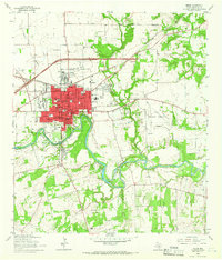
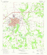
Editions of this 1964 Seguin Map
3 editions found
Other maps of this area

1911 · San Marcos
USGS Topo · 1:125,000

1919 · San Marcos
USGS Topo · 1:125,000

1920 · Smiley
USGS Topo · 1:125,000

1924 · New Braunfels No 4
USGS Topo · 1:48,000

1924 · San Marcos 3-c
USGS Topo · 1:48,000

1924 · San Marcos 3-d
USGS Topo · 1:48,000

1925 · New Braunfels No 1
USGS Topo · 1:48,000

1927 · New Braunfels
USGS Topo · 1:62,500

1930 · Seguin
USGS Topo · 1:62,500

1942 · Dewville
USGS Topo · 1:62,500