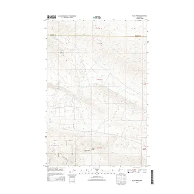
2013 Map of Selah Springs
USGS Topo · Published 2013About this map
Selah Springs marks a point of historical interest where the upland drainages of the Yakima Valley converge. This high-country landscape is defined by the parallel elevations of Umtanum Ridge and Yakima Ridge, creating a series of enclosed basins like Burbank Valley. The presence of Selah Cr and Burbank Cr indicates the vital water sources that dictated early land use and settlement patterns in this arid region.
Find a feature on this map
23 named features on this map. Tap any name to fly to it.
Don’t see what you’re looking for? This feature index may not catch every label — zoom into the map to look around manually.
Map Details
Editions of this 2013 Selah Springs Map
This is the sole edition of this map. No revisions or reprints were ever made.
Other maps of this area

1936 · Yakima East
USGS Topo · 1:48,000

1936 · Hog Ranch Buttes
USGS Topo · 1:48,000

1938 · Badger Pocket
USGS Topo · 1:48,000

1939 · Boylston
USGS Topo · 1:48,000

1941 · Black Rock Spring
USGS Topo · 1:62,500

1941 · Yakima East
USGS Topo · 1:62,500

1943 · Boylston
USGS Topo · 1:62,500

1943 · Badger Pocket
USGS Topo · 1:62,500

1950 · Yakima
USGS Topo · 1:250,000

1953 · McDonald Spring
USGS Topo · 1:24,000