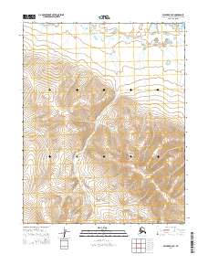
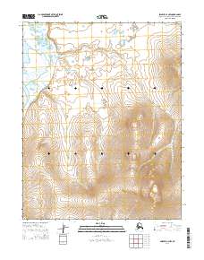
2014 Map of Selawik A-4 NE
USGS Topo · Published 2014About this map
Selawik Hills dominate the southern landscape of this Northwest Arctic quadrangle, their contours rising sharply from the surrounding coastal plains. In the northern reaches, the Kauk River meanders across a low-lying basin, its path defined by a series of tight loops and oxbows characteristic of the subarctic tundra. The map's structural framework is defined by the Public Land Survey System, specifically within township ranges such as t10n r10w and t9n r9w. This era of documentation highlights a remote landscape largely devoid of human infrastructure, focusing instead on the intersection of the elevated hills and the hydrological patterns of the river basin as they appeared in 2014.
Find a feature on this map
8 named features on this map. Tap any name to fly to it.
Don’t see what you’re looking for? This feature index may not catch every label — zoom into the map to look around manually.
Map Details
Editions of this 2014 Selawik A-4 NE Map
This is the sole edition of this map. No revisions or reprints were ever made.
Other maps of this area

1951 · Selawik
USGS Topo · 1:250,000

1955 · Selawik A-4
USGS Topo · 1:63,360

1955 · Selawik B-3
USGS Topo · 1:63,360

1955 · Selawik A-3
USGS Topo · 1:63,360

1955 · Selawik B-4
USGS Topo · 1:63,360

1957 · Selawik
USGS Topo · 1:250,000
2014 · Selawik A-4 SW
USGS Topo · 1:25,000
2014 · Selawik A-3 SW
USGS Topo · 1:25,000
2014 · Selawik A-4 SE
USGS Topo · 1:25,000
2014 · Selawik A-4 NW
USGS Topo · 1:25,000