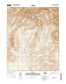
2014 Map of Selawik A-4 SE
USGS Topo · Published 2014About this map
Harvey Cr winds through this expanse of the Northwest Arctic, carving a path through the terrain as it flows generally southward across the township boundaries. This 2014 survey by the U.S. Geological Survey highlights a landscape defined by natural drainage patterns rather than human infrastructure, as the region remains largely undeveloped. The topography is meticulously detailed, showing the subtle elevation changes within the t8n r10w, t8n r9w, t7n r10w, and t7n r9w public land survey system divisions. These sections reflect the systematic grid established for land management in the Alaskan interior. The map provides a precise record of the hydrological network, centered on the various branches and tributaries that feed into Harvey Cr.
Find a feature on this map
5 named features on this map. Tap any name to fly to it.
Don’t see what you’re looking for? This feature index may not catch every label — zoom into the map to look around manually.
Map Details
Editions of this 2014 Selawik A-4 SE Map
This is the sole edition of this map. No revisions or reprints were ever made.
Other maps of this area

1951 · Candle
USGS Topo · 1:250,000

1951 · Selawik
USGS Topo · 1:250,000

1955 · Candle
USGS Topo · 1:250,000

1955 · Selawik A-4
USGS Topo · 1:63,360

1955 · Candle D-4
USGS Topo · 1:63,360
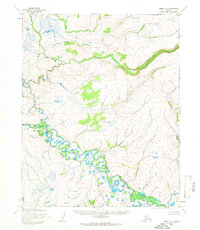
1955 · Candle D-3
USGS Topo · 1:63,360

1955 · Selawik A-3
USGS Topo · 1:63,360

1957 · Selawik
USGS Topo · 1:250,000

1964 · Candle
USGS Topo · 1:250,000
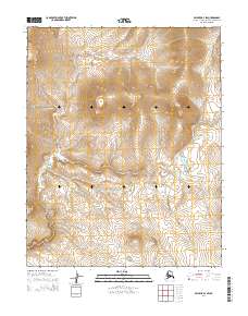
2014 · Selawik A-4 SW
USGS Topo · 1:25,000