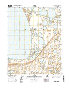
2016 Map of Selawik B-2 NE
USGS Topo · Published 2016About this map
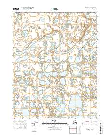
Inland Lake dominates the western half of this subarctic landscape, characterized by an extensive network of thermokarst ponds and wetlands typical of the Northwest Arctic. The terrain is strictly organized by the Public Land Survey System, spanning portions of t13n r5w, t13n r4w, t12n r5w, t12n r4w, t11n r5w, and t11n r4w. While devoid of named settlements, the intricate hydrography reveals a complex drainage pattern where seasonal water levels dictate the movement across this remote portion of the Selawik river basin. The absence of roads or permanent structures reflects the preserved wilderness character of the region as it was documented in the mid-2010s.
Find a feature on this map
7 named features on this map. Tap any name to fly to it.
Don’t see what you’re looking for? This feature index may not catch every label — zoom into the map to look around manually.
Map Details
Editions of this 2016 Selawik B-2 NE Map
This is the sole edition of this map. No revisions or reprints were ever made.
Other maps of this area

1951 · Selawik
USGS Topo · 1:250,000

1957 · Selawik
USGS Topo · 1:250,000
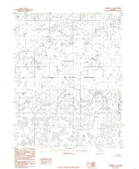
1985 · Selawik C-1
USGS Topo · 1:63,360
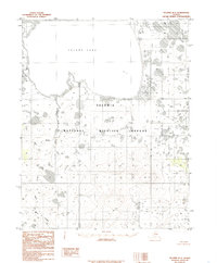
1985 · Selawik B-2
USGS Topo · 1:63,360
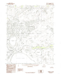
1985 · Selawik C-2
USGS Topo · 1:63,360
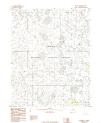
1985 · Selawik B-1
USGS Topo · 1:63,360
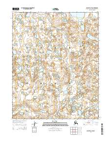
2015 · Selawik B-1 SW
USGS Topo · 1:25,000
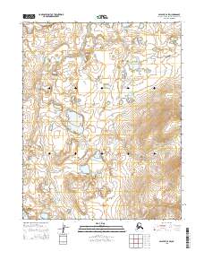
2015 · Selawik B-2 SW
USGS Topo · 1:25,000
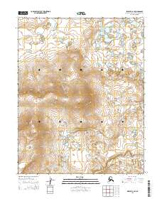
2015 · Selawik B-2 SE
USGS Topo · 1:25,000
2015 · Selawik C-1 SW
USGS Topo · 1:25,000