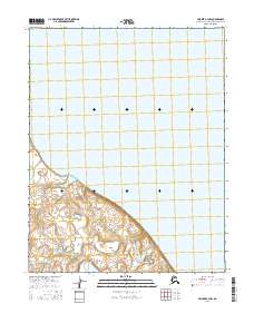
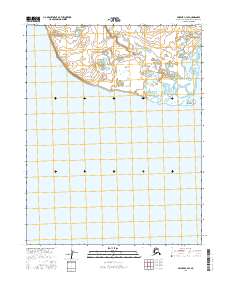
2016 Map of Selawik B-4 NW
USGS Topo · Published 2016About this map
Selawik Lake dominates the northern landscape of this region in the Northwest Arctic Borough. The terrain is characterized by a network of public land surveys, including t13n r11w, t12n r11w, and t12n r10w, which define the administrative geography of this remote Alaskan coastal environment. While the landscape remains largely natural and unsettled, the map reveals the intricate topographic contours of the southern landmass as it meets the vast expanse of the lake, offering a detailed perspective on the shoreline and hydrological boundaries during the early 21st century. Researchers can trace the intersection of township and range lines across this coastal transition zone.
Find a feature on this map
6 named features on this map. Tap any name to fly to it.
Don’t see what you’re looking for? This feature index may not catch every label — zoom into the map to look around manually.
Map Details
Editions of this 2016 Selawik B-4 NW Map
This is the sole edition of this map. No revisions or reprints were ever made.
Other maps of this area

1951 · Selawik
USGS Topo · 1:250,000

1951 · Selawik B-5
USGS Topo · 1:63,360

1955 · Selawik B-4
USGS Topo · 1:63,360

1955 · Selawik C-5
USGS Topo · 1:63,360

1955 · Selawik C-4
USGS Topo · 1:63,360

1957 · Selawik
USGS Topo · 1:250,000
2014 · Selawik B-4 SE
USGS Topo · 1:25,000
2016 · Selawik B-4 SW
USGS Topo · 1:25,000
2016 · Selawik B-5 NE
USGS Topo · 1:25,000
2016 · Selawik C-4 SE
USGS Topo · 1:25,000