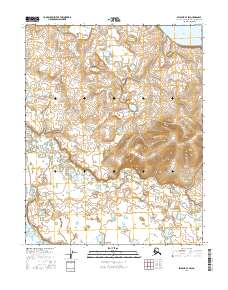
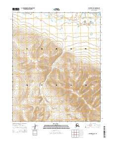
2016 Map of Selawik B-4 SW
USGS Topo · Published 2016About this map
Kuuk River winds through the southern reaches of this Northwest Arctic landscape, serving as the primary drainage through a vast network of wetlands and tundra. In the northeastern corner, the expanse of Selawik Lake begins to dominate the horizon, illustrating the transition from the riverine interior to the coastal influence of the region. This 2016 survey shows the area within several townships, including t11n r11w, t11n r10w, t10n r11w, and t10n r10w. The map depicts an environment defined by the absence of permanent human settlements, where the natural water systems dictate the movement of both wildlife and indigenous subsistence travelers across the Arctic Borough.
Find a feature on this map
6 named features on this map. Tap any name to fly to it.
Don’t see what you’re looking for? This feature index may not catch every label — zoom into the map to look around manually.
Map Details
Editions of this 2016 Selawik B-4 SW Map
This is the sole edition of this map. No revisions or reprints were ever made.
Other maps of this area

1951 · Selawik
USGS Topo · 1:250,000

1951 · Selawik A-5
USGS Topo · 1:63,360

1951 · Selawik B-5
USGS Topo · 1:63,360

1955 · Selawik A-4
USGS Topo · 1:63,360

1955 · Selawik B-4
USGS Topo · 1:63,360

1957 · Selawik
USGS Topo · 1:250,000
2014 · Selawik A-5 NE
USGS Topo · 1:25,000
2014 · Selawik A-4 NW
USGS Topo · 1:25,000
2014 · Selawik B-4 SE
USGS Topo · 1:25,000
2014 · Selawik A-4 NE
USGS Topo · 1:25,000