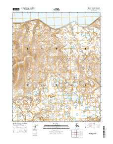
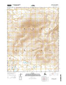
2014 Map of Selawik B-4 SE
USGS Topo · Published 2014About this map
Selawik Lake dominates the northern reaches of this Arctic coastal region, where the shoreline meets a landscape defined by expansive tundra and intricate hydrography. In the southwest, the Kauk River meanders through the terrain, illustrating the natural drainage patterns common to the Northwest Arctic Borough. This 2014 survey captures the area within the bounds of t11n r10w, t11n r9w, t10n r10w, and t10n r9w, showing a transition from the large open water of the lake to the smaller ponds and wetlands that characterize the interior. The topographic detail reflects a low-lying environment where seasonal water movement and permafrost likely shape the shifting course of smaller un-named tributaries feeding into the larger river system.
Find a feature on this map
6 named features on this map. Tap any name to fly to it.
Don’t see what you’re looking for? This feature index may not catch every label — zoom into the map to look around manually.
Map Details
Editions of this 2014 Selawik B-4 SE Map
This is the sole edition of this map. No revisions or reprints were ever made.
Other maps of this area

1951 · Selawik
USGS Topo · 1:250,000

1955 · Selawik A-4
USGS Topo · 1:63,360

1955 · Selawik B-3
USGS Topo · 1:63,360

1955 · Selawik A-3
USGS Topo · 1:63,360

1955 · Selawik B-4
USGS Topo · 1:63,360

1957 · Selawik
USGS Topo · 1:250,000
2014 · Selawik A-4 NW
USGS Topo · 1:25,000
2014 · Selawik A-3 NW
USGS Topo · 1:25,000
2014 · Selawik A-4 NE
USGS Topo · 1:25,000
2014 · Selawik B-3 SW
USGS Topo · 1:25,000