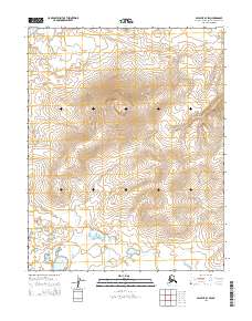
2014 Map of Selawik B-3 SW
USGS Topo · Published 2014About this map
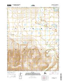
Selawik Lake occupies the northwestern corner of this 2014 survey, which reveals an environment of dramatic relief and varied topography within the Northwest Arctic Borough. The terrain is characterized by a high central upland that rises steadily from the lowland marshes in the north and south. The land is organized into township and range boundaries including t11n r8w and t10n r8w, though the map is notable for its lack of established roads or permanent settlements. Instead, the landscape is defined by its complex network of seasonal drainages and the intricate contour lines of the interior highlands, reflecting the untamed nature of this Arctic region during the early twenty-first century. The presence of the lake edge suggests the importance of water access for this isolated stretch of terrain.
Find a feature on this map
7 named features on this map. Tap any name to fly to it.
Don’t see what you’re looking for? This feature index may not catch every label — zoom into the map to look around manually.
Map Details
Editions of this 2014 Selawik B-3 SW Map
This is the sole edition of this map. No revisions or reprints were ever made.
Other maps of this area

1951 · Selawik
USGS Topo · 1:250,000

1955 · Selawik A-4
USGS Topo · 1:63,360

1955 · Selawik B-3
USGS Topo · 1:63,360

1955 · Selawik A-3
USGS Topo · 1:63,360

1955 · Selawik B-4
USGS Topo · 1:63,360

1957 · Selawik
USGS Topo · 1:250,000
2014 · Selawik A-3 NW
USGS Topo · 1:25,000
2014 · Selawik B-4 SE
USGS Topo · 1:25,000
2014 · Selawik A-4 NE
USGS Topo · 1:25,000
2015 · Selawik A-3 NE
USGS Topo · 1:25,000