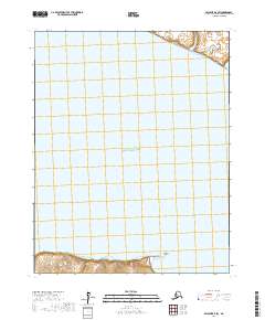
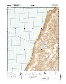
2017 Map of Selawik B-5 SW
USGS Topo · Published 2017About this map
Eschscholtz Bay dominates this coastal landscape in the Northwest Arctic Borough, where the tidal waters meet the southern shoreline of the Seward Peninsula. The terrain is defined by a narrow strip of coastal land along the southern margin of the map, featuring Elephant Point, a prominent coastal landform extending into the bay. This 2017 survey illustrates the remote maritime character of the region, where the vast majority of the quadrangle is submerged within the bay's waters. The shoreline itself shows complex topographic contours that suggest a low-lying coastal environment subject to Arctic tidal influences and seasonal shifts. Mapping of the Public Land Survey System grids, including t11n r13w and t10n r12w, provides the framework for understanding land tenure and administrative boundaries in this unpopulated stretch of the Alaskan coast.
Find a feature on this map
6 named features on this map. Tap any name to fly to it.
Don’t see what you’re looking for? This feature index may not catch every label — zoom into the map to look around manually.
Map Details
Editions of this 2017 Selawik B-5 SW Map
This is the sole edition of this map. No revisions or reprints were ever made.
Other maps of this area

1951 · Selawik
USGS Topo · 1:250,000

1951 · Selawik B-6
USGS Topo · 1:63,360

1951 · Selawik A-5
USGS Topo · 1:63,360

1951 · Selawik B-5
USGS Topo · 1:63,360

1951 · Selawik A-6
USGS Topo · 1:63,360

1957 · Selawik
USGS Topo · 1:250,000
2014 · Selawik A-5 NE
USGS Topo · 1:25,000
2014 · Selawik B-6 SE
USGS Topo · 1:25,000
2014 · Selawik A-5 NW
USGS Topo · 1:25,000
2014 · Selawik A-6 NE
USGS Topo · 1:25,000