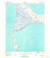
1951 Map of Selawik B-6
USGS Topo · Published 1963About this map
Baldwin Peninsula dominates this coastal landscape at the intersection of Kotzebue Sound and Hotham Inlet. The geography is defined by low-lying wetland complexes and isolated outposts of human activity during the early 1950s. Near the northern coastline, the Arctic Landing Strip and Arctic North Base indicate the strategic and logistical importance of this remote region. Further south, the map details the narrow Choris Peninsula reaching into Eschscholtz Bay. Small-scale features like the Callahan Shelter Cabin and a Reindeer Corral provide evidence of the localized subsistence and transportation networks of the era. The terrain is marked by numerous survey points, including VABM Baldwin 123 and VABM Choris 369, used by the Army Map Service to document this largely unsurveyed territory near Pt Garnet and Chamisso Anchorage.
Find a feature on this map
18 named features on this map. Tap any name to fly to it.
Don’t see what you’re looking for? This feature index may not catch every label — zoom into the map to look around manually.
Map Details
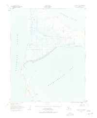
Editions of this 1951 Selawik B-6 Map
3 editions found
Other maps of this area

1950 · Kotzebue A-1
USGS Topo · 1:63,360

1951 · Selawik
USGS Topo · 1:250,000

1951 · Kotzebue
USGS Topo · 1:250,000

1951 · Selawik C-6
USGS Topo · 1:63,360

1951 · Selawik B-6
USGS Topo · 1:63,360

1951 · Selawik A-5
USGS Topo · 1:63,360

1951 · Selawik B-5
USGS Topo · 1:63,360
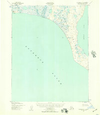
1951 · Kotzebue C-1
USGS Topo · 1:63,360

1951 · Selawik A-6
USGS Topo · 1:63,360

1955 · Selawik C-5
USGS Topo · 1:63,360