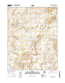
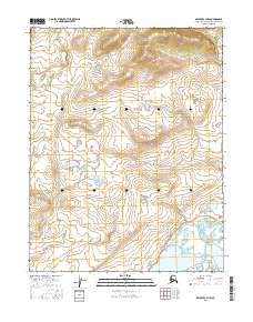
2016 Map of Selawik C-4 NE
USGS Topo · Published 2016About this map
Selawik Lake anchors the southwestern corner of this Arctic coastal landscape, where the tides and tundra waters of the Northwest Arctic Borough meet. The terrain is defined by a dense network of hydrologic features, most notably the meandering course of the Singauruk River as it winds through the eastern and central sections of the survey. Braided drainage patterns are evident through the paths of Kokopuk Cr in the northwest and Napatuk Cr in the southeast. This map reveals a wilderness area largely devoid of permanent human settlements or infrastructure, organized instead by the Public Land Survey System grids of Township 15 North, Range 9 West and its neighbors. The intricate contouring illustrates the subtle elevation changes characteristic of this subarctic environment, capturing the specialized geography of the Alaskan north just before the turn of the decade.
Find a feature on this map
10 named features on this map. Tap any name to fly to it.
Don’t see what you’re looking for? This feature index may not catch every label — zoom into the map to look around manually.
Map Details
Editions of this 2016 Selawik C-4 NE Map
This is the sole edition of this map. No revisions or reprints were ever made.
Other maps of this area

1951 · Selawik
USGS Topo · 1:250,000

1955 · Selawik D-4
USGS Topo · 1:63,360

1955 · Selawik C-3
USGS Topo · 1:63,360

1955 · Selawik D-3
USGS Topo · 1:63,360

1955 · Selawik C-4
USGS Topo · 1:63,360

1957 · Selawik
USGS Topo · 1:250,000
2015 · Selawik D-4 SW
USGS Topo · 1:25,000
2015 · Selawik D-3 SW
USGS Topo · 1:25,000
2015 · Selawik D-4 SE
USGS Topo · 1:25,000
2016 · Selawik C-3 NW
USGS Topo · 1:25,000