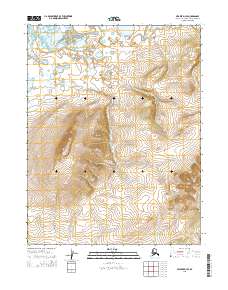
2015 Map of Selawik D-4 SE
USGS Topo · Published 2015About this map
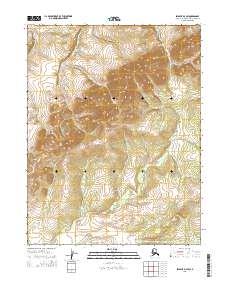
Hotham Peak dominates this landscape of the Northwest Arctic Borough, rising as a prominent high point amidst the complex terrain of the northern wilderness. The area is defined by the drainage patterns of the Oksik Cr in the north and Kokonuk Cr to the south, which navigate the elevations of the Hockley Hills. This 2015 survey reveals an unpopulated expanse where the geography is the primary record, showing the raw topographic detail of the Alaskan interior before modern infrastructure or settlements. The mapping provides a technical look at the Public Land Survey System divisions, including t17n r9w and t16n r9w, illustrating how the land was partitioned even in such a remote corner of the state.
Find a feature on this map
8 named features on this map. Tap any name to fly to it.
Don’t see what you’re looking for? This feature index may not catch every label — zoom into the map to look around manually.
Map Details
Editions of this 2015 Selawik D-4 SE Map
This is the sole edition of this map. No revisions or reprints were ever made.
Other maps of this area

1951 · Selawik
USGS Topo · 1:250,000

1955 · Selawik D-4
USGS Topo · 1:63,360

1955 · Selawik C-3
USGS Topo · 1:63,360

1955 · Selawik D-3
USGS Topo · 1:63,360

1955 · Selawik C-4
USGS Topo · 1:63,360

1957 · Selawik
USGS Topo · 1:250,000
2015 · Selawik D-4 SW
USGS Topo · 1:25,000
2015 · Selawik D-3 NW
USGS Topo · 1:25,000
2015 · Selawik D-4 NE
USGS Topo · 1:25,000
2015 · Selawik D-3 SW
USGS Topo · 1:25,000