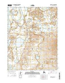
2015 Map of Selawik D-4 SW
USGS Topo · Published 2015About this map
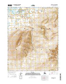
Old Kotzebue occupies a bend in the landscape of the Northwest Arctic, situated among the complex waterways of the Kobuk River delta region. The area is defined by the winding paths of the Nazuruk Channel and the Oksik Channel, which carve through a mosaic of small lakes and tundra. This 2015 survey illustrates a remote Alaskan landscape where traditional sites meet modern utility, indicated by the presence of the Landfill Access Road cutting across the central terrain. The map's detail shows how water dominates the geography, with the channels serving as primary landmarks in a region largely devoid of dense infrastructure, preserving the spatial relationship between the historic settlement area and the surrounding environment.
Find a feature on this map
8 named features on this map. Tap any name to fly to it.
Don’t see what you’re looking for? This feature index may not catch every label — zoom into the map to look around manually.
Map Details
Editions of this 2015 Selawik D-4 SW Map
This is the sole edition of this map. No revisions or reprints were ever made.
Other maps of this area

1951 · Selawik
USGS Topo · 1:250,000

1955 · Selawik D-4
USGS Topo · 1:63,360

1955 · Selawik D-5
USGS Topo · 1:63,360

1955 · Selawik C-5
USGS Topo · 1:63,360

1955 · Selawik C-4
USGS Topo · 1:63,360

1957 · Selawik
USGS Topo · 1:250,000
2015 · Selawik D-4 NE
USGS Topo · 1:25,000
2015 · Selawik D-5 SE
USGS Topo · 1:25,000
2015 · Selawik D-5 NE
USGS Topo · 1:25,000
2015 · Selawik D-4 SE
USGS Topo · 1:25,000