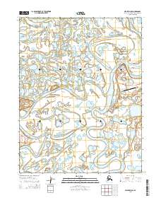
2015 Map of Selawik D-5 SE
USGS Topo · Published 2015About this map
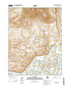
Noorvik sits along the winding banks of the Nazaruk Channel, serving as a focal point of settlement in this subarctic river delta. The landscape is defined by a complex web of interconnected waterways, including the broad Melvin Channel to the north and the meandering Riley Channel further south. These channels and the Olikatuk Channel create a shifting mosaic of low-lying islands and wetlands characteristic of the region's geography.
Find a feature on this map
13 named features on this map. Tap any name to fly to it.
Don’t see what you’re looking for? This feature index may not catch every label — zoom into the map to look around manually.
Map Details
Editions of this 2015 Selawik D-5 SE Map
This is the sole edition of this map. No revisions or reprints were ever made.
Other maps of this area

1951 · Selawik
USGS Topo · 1:250,000

1955 · Selawik D-4
USGS Topo · 1:63,360

1955 · Selawik D-5
USGS Topo · 1:63,360

1955 · Selawik C-5
USGS Topo · 1:63,360

1955 · Selawik C-4
USGS Topo · 1:63,360

1957 · Selawik
USGS Topo · 1:250,000
2015 · Selawik D-4 SW
USGS Topo · 1:25,000
2015 · Selawik C-5 NW
USGS Topo · 1:25,000
2015 · Selawik D-5 SW
USGS Topo · 1:25,000
2015 · Selawik D-5 NE
USGS Topo · 1:25,000