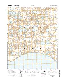
2016 Map of Selawik C-4 NW
USGS Topo · Published 2016About this map
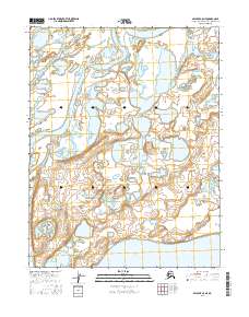
Selawik Lake dominates the southern reaches of this landscape, its expansive shoreline meeting a vast network of wetlands and tundra within the Northwest Arctic Borough. The terrain north of the lake is defined by a intricate system of ponds and seasonal water bodies, typical of the Arctic coastal plain. Flowing through the eastern portion of the map, Kokopuk Creek (labeled as Kokopuk Cr in its upper reaches) meanders toward the lake, marking a primary drainage route for the surrounding lowlands. The 2016 survey data reflects the remote and largely uninhabited character of this region, where the primary organizational structures are the Public Land Survey System boundaries, such as t15n r11w and t16n r10w, which delineate the territory for the Bureau of Land Management and Fish and Wildlife Service.
Find a feature on this map
9 named features on this map. Tap any name to fly to it.
Don’t see what you’re looking for? This feature index may not catch every label — zoom into the map to look around manually.
Map Details
Editions of this 2016 Selawik C-4 NW Map
This is the sole edition of this map. No revisions or reprints were ever made.
Other maps of this area

1951 · Selawik
USGS Topo · 1:250,000

1955 · Selawik D-4
USGS Topo · 1:63,360

1955 · Selawik D-5
USGS Topo · 1:63,360

1955 · Selawik C-5
USGS Topo · 1:63,360

1955 · Selawik C-4
USGS Topo · 1:63,360

1957 · Selawik
USGS Topo · 1:250,000
2015 · Selawik D-4 SW
USGS Topo · 1:25,000
2015 · Selawik D-5 SE
USGS Topo · 1:25,000
2015 · Selawik D-4 SE
USGS Topo · 1:25,000
2016 · Selawik C-5 NE
USGS Topo · 1:25,000