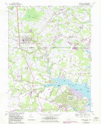
1967 Map of Selbyville
USGS Topo · Published 1983About this map
Selbyville sits at the intersection of maritime geography and state boundaries, where the Delaware Maryland Line splits the town's southern outskirts from Bishopville. This coastal landscape is defined by the complex waterways of the St Martin River, including the Bishopville Prong and Shingle Landing Prong. The 1960s mapping reveals a transition toward modern residential development, most notably the emergence of Ocean Pines near the riverbanks, featuring a planned golf course and winding drives. Older settlement patterns remain visible through established religious landmarks like St Matthews Ch and the rural Old St Martins Ch near Showell. The Conrail line runs north-south through the heart of the region, anchoring the commerce of the inland plains before the terrain breaks into the marshes of St Martin Neck.
Find a feature on this map
91 named features on this map. Tap any name to fly to it.
Don’t see what you’re looking for? This feature index may not catch every label — zoom into the map to look around manually.
Map Details
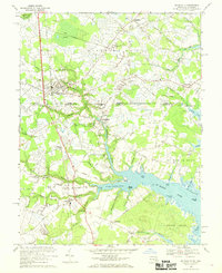
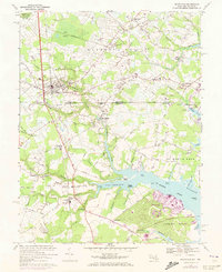
Editions of this 1967 Selbyville Map
3 editions found
Other maps of this area

1901 · Ocean City
USGS Topo · 1:62,500

1902 · Pittsville
USGS Topo · 1:62,500

1917 · Millsboro
USGS Topo · 1:62,500

1918 · Rehoboth
USGS Topo · 1:62,500

1938 · Millsboro
USGS Topo · 1:62,500

1938 · Rehoboth
USGS Topo · 1:62,500

1942 · Ocean City
USGS Topo · 1:62,500

1942 · Ninepin
USGS Topo · 1:24,000

1942 · Ocean City
USGS Topo · 1:24,000

1942 · Whaleysville
USGS Topo · 1:24,000