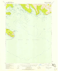
1953 Map of Seldovia A-4
USGS Topo · Published 1958About this map
The Chugach Islands stand as the southern sentinels of the Kenai Peninsula, marking where the dramatic coastline of south-central Alaska meets the open Gulf of Alaska. Surveyed in the early 1950s, this chart captures a rugged maritime environment defined by deep-water inlets like Windy Bay and Rocky Bay. The topographical detail focuses on the sharp elevation changes of the mainland and East Chugach Island, where steep slopes rise directly from the waterline to heights over 1,400 feet. Navigational hazards such as Gore Rock are clearly marked amidst the bathymetric depth curves, providing a critical perspective of the maritime approaches to the peninsula before modern satellite navigation. This survey represents the definitive mid-century recording of this remote coastal geography, emphasizing the relationship between the mountainous interior and the complex shoreline of the Pacific.
Find a feature on this map
6 named features on this map. Tap any name to fly to it.
Don’t see what you’re looking for? This feature index may not catch every label — zoom into the map to look around manually.
Map Details
Editions of this 1953 Seldovia A-4 Map
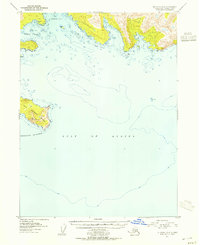
2 editions found
Other maps of this area

1951 · Seldovia
USGS Topo · 1:250,000

1951 · Seldovia B-5
USGS Topo · 1:63,360

1951 · Seldovia A-3
USGS Topo · 1:63,360

1951 · Seldovia B-4
USGS Topo · 1:63,360

1951 · Seldovia B-3
USGS Topo · 1:63,360

1951 · Seldovia A-4
USGS Topo · 1:63,360

1952 · Afognak
USGS Topo · 1:250,000

1952 · Seldovia A-3
USGS Topo · 1:63,360

1952 · Seldovia B-3
USGS Topo · 1:63,360

1953 · Seldovia B-4
USGS Topo · 1:63,360