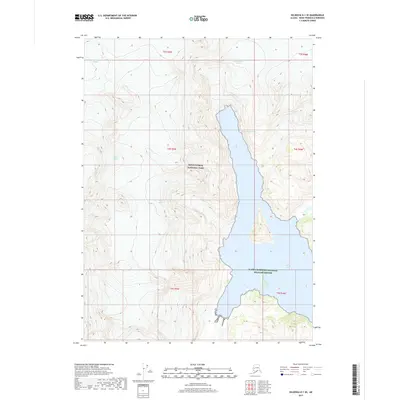
2017 Map of Seldovia D-1 SE
USGS Topo · Published 2017About this map
Kenai Fjords National Park and the Alaska Maritime National Wildlife Refuge define this coastal landscape on the Kenai Peninsula. The glacial activity of the region is evident through the massive flows of Tustumena Glacier, McCarty Glacier, and Ogive Glacier as they move toward the coast. These ice fields terminate near the deep waters of Northwestern Fiord, which cuts inland from Harris Bay.
Find a feature on this map
14 named features on this map. Tap any name to fly to it.
Don’t see what you’re looking for? This feature index may not catch every label — zoom into the map to look around manually.
Map Details
Editions of this 2017 Seldovia D-1 SE Map
This is the sole edition of this map. No revisions or reprints were ever made.
Other maps of this area

1946 · Blying Sound
USGS Topo · 1:250,000

1951 · Blying Sound
USGS Topo · 1:250,000

1951 · Seldovia
USGS Topo · 1:250,000
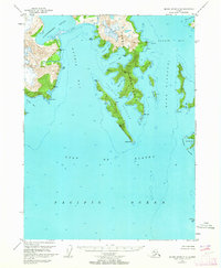
1951 · Blying Sound C-8
USGS Topo · 1:63,360
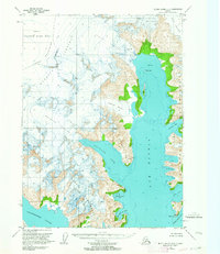
1951 · Blying Sound D-8
USGS Topo · 1:63,360

1951 · Seldovia D-1
USGS Topo · 1:63,360
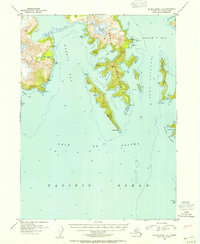
1952 · Blying Sound C-8
USGS Topo · 1:63,360
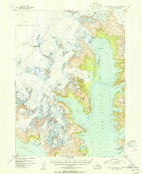
1953 · Blying Sound D-8
USGS Topo · 1:63,360
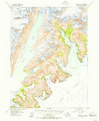
1953 · Seldovia C-1
USGS Topo · 1:63,360
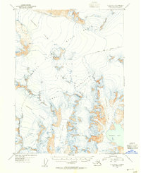
1953 · Seldovia D-1
USGS Topo · 1:63,360