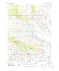
1950 Map of Seldovia D-2
USGS Topo · Published 1978About this map
Kenai National Moose Range dominates this mid-century survey of the Kenai Peninsula, showcasing a landscape defined by massive ice fields and high-altitude peaks. The northern reach of the Truuli Glacier descends from Truuli Peak, feeding the complex drainage system of Truuli Creek and the southern edge of Tustumena Lake. To the south and west, the ice-carved topography transitions into the braided channels of the Fox River and Clearwater Slough.
Find a feature on this map
13 named features on this map. Tap any name to fly to it.
Don’t see what you’re looking for? This feature index may not catch every label — zoom into the map to look around manually.
Map Details
Editions of this 1950 Seldovia D-2 Map
2 editions found
Other maps of this area

1944 · Kenai
USGS Topo · 1:250,000

1950 · Kenai
USGS Topo · 1:250,000

1950 · Seldovia D-2
USGS Topo · 1:63,360

1951 · Seldovia
USGS Topo · 1:250,000

1951 · Seldovia D-3
USGS Topo · 1:63,360

1951 · Kenai A-3
USGS Topo · 1:63,360

1951 · Kenai A-2
USGS Topo · 1:63,360

1951 · Kenai A-1
USGS Topo · 1:63,360

1951 · Seldovia C-3
USGS Topo · 1:63,360

1951 · Seldovia D-1
USGS Topo · 1:63,360