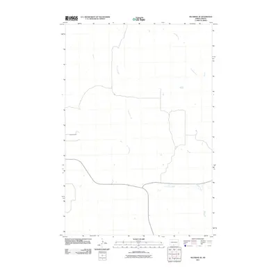
2011 Map of Selfridge SE
USGS Topo · Published 2011About this map
Gayton Cemetery sits alone on the high ground west of the branching drainages in this quiet section of the Fort Yates District. The landscape is defined by the winding paths of Fourmile Creek and Onemile Creek, which cut through the open country of the Standing Rock Reservation. This 2011 survey illustrates a sparse settlement pattern common in the rural Dakotas, where the primary human landmarks are localized family or community burial grounds and the natural topography of the local watersheds. The road network follows the section lines and terrain, linking the scattered homesteads of Sioux County to the surrounding prairie.
Find a feature on this map
3 named features on this map. Tap any name to fly to it.
Don’t see what you’re looking for? This feature index may not catch every label — zoom into the map to look around manually.
Map Details
Editions of this 2011 Selfridge SE Map
This is the sole edition of this map. No revisions or reprints were ever made.
Other maps of this area

1953 · McIntosh
USGS Topo · 1:250,000

1954 · Bismarck
USGS Topo · 1:250,000

1958 · Bismarck
USGS Topo · 1:250,000

1958 · McIntosh
USGS Topo · 1:250,000

1966 · McLaughlin NE
USGS Topo · 1:24,000

1966 · Mahto NW
USGS Topo · 1:24,000

1968 · Fort Yates NW
USGS Topo · 1:24,000

1968 · Fort Yates
USGS Topo · 1:24,000

1971 · Barren Butte
USGS Topo · 1:24,000

1971 · Froelich Dam
USGS Topo · 1:24,000