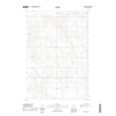
2020 Map of Selfridge SE
USGS Topo · Published 2020About this map
The Porcupine Hills rise across this corner of Sioux County, overlooking a landscape defined by seasonal watercourses and the established grid of the Public Land Survey System. Located south of the Gayton Cem, the terrain is etched by the meandering paths of Fourmile Cr and Onemile Cr, which dictate the local topography within the Fort Yates District. The map reveals a pastoral pattern of development where section lines and rural tracks navigate around the drainage basins and elevated breaks of the hills. This 2020 record of the area near Selfridge captures the enduring character of the North Dakota plains, where small landmarks like family or local cemeteries remain the primary markers of human settlement in a predominantly natural environment.
Find a feature on this map
8 named features on this map. Tap any name to fly to it.
Don’t see what you’re looking for? This feature index may not catch every label — zoom into the map to look around manually.
Map Details
Editions of this 2020 Selfridge SE Map
This is the sole edition of this map. No revisions or reprints were ever made.
Other maps of this area

1953 · McIntosh
USGS Topo · 1:250,000

1954 · Bismarck
USGS Topo · 1:250,000

1958 · Bismarck
USGS Topo · 1:250,000

1958 · McIntosh
USGS Topo · 1:250,000

1966 · McLaughlin NE
USGS Topo · 1:24,000

1966 · Mahto NW
USGS Topo · 1:24,000

1968 · Fort Yates NW
USGS Topo · 1:24,000

1968 · Fort Yates
USGS Topo · 1:24,000

1971 · Barren Butte
USGS Topo · 1:24,000

1971 · Froelich Dam
USGS Topo · 1:24,000