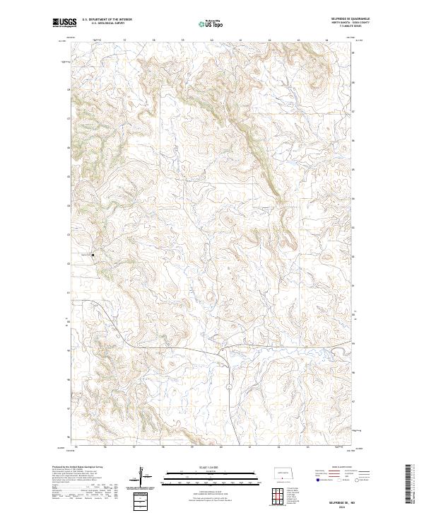
2024 Map of Selfridge SE
USGS Topo · Published 2024About this map
Gayton Cem serves as a central landmark in this portion of Sioux County, situated on the high ground west of the drainage systems that define the local topography. This 2024 landscape is characterized by the winding paths of Onemile Creek in the northeast and the more extensive Fourmile Creek which traverses the southern half of the quadrangle. The map reveals a rural environment structured by the Public Land Survey System, with clear demarcations for townships including t130n r81w and t129n r81w. The road network is sparse, following the section lines and terrain to connect isolated points in this plains region, providing a modern look at the enduring geographic patterns of the North Dakota landscape.
Find a feature on this map
7 named features on this map. Tap any name to fly to it.
Don’t see what you’re looking for? This feature index may not catch every label — zoom into the map to look around manually.
Map Details
Editions of this 2024 Selfridge SE Map
This is the sole edition of this map. No revisions or reprints were ever made.
Other maps of this area

1953 · McIntosh
USGS Topo · 1:250,000

1954 · Bismarck
USGS Topo · 1:250,000

1958 · Bismarck
USGS Topo · 1:250,000

1958 · McIntosh
USGS Topo · 1:250,000

1966 · McLaughlin NE
USGS Topo · 1:24,000

1966 · Mahto NW
USGS Topo · 1:24,000

1968 · Fort Yates NW
USGS Topo · 1:24,000

1968 · Fort Yates
USGS Topo · 1:24,000

1971 · Barren Butte
USGS Topo · 1:24,000

1971 · Froelich Dam
USGS Topo · 1:24,000