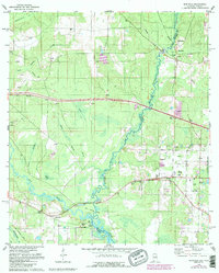
1978 Map of Seminole
USGS Topo · Published 1987About this map
The Perdido River carves a winding boundary between Alabama and Florida, anchoring a landscape defined by wetlands and extractive industry. In the late 1970s, the rural character of Baldwin County is visible through scattered settlements like Seminole and Muscogee, the latter featuring the Old Muscogee Cem near the riverbank. The terrain is marked by numerous Claypits, particularly north of the Bear Branch and near the Mobile Highway Ch.
Find a feature on this map
42 named features on this map. Tap any name to fly to it.
Don’t see what you’re looking for? This feature index may not catch every label — zoom into the map to look around manually.
Map Details
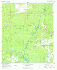
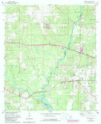
Editions of this 1978 Seminole Map
3 editions found
Other maps of this area

1920 · Robertsdale
USGS Topo · 1:62,500

1921 · Bon Secour
USGS Topo · 1:62,500

1921 · Fort Barrancas
USGS Topo · 1:62,500

1921 · Muscogee
USGS Topo · 1:62,500

1941 · Fort Barrancas
USGS Topo · 1:62,500

1941 · Muscogee
USGS Topo · 1:62,500

1941 · Robertsdale
USGS Topo · 1:62,500

1941 · Foley
USGS Topo · 1:62,500

1943 · Robertsdale
USGS Topo · 1:62,500

1943 · Muscogee
USGS Topo · 1:62,500