Loading...
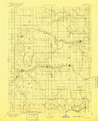
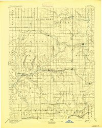
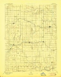
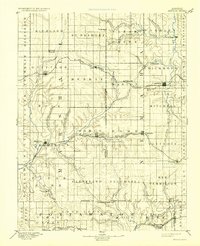
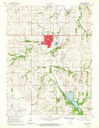
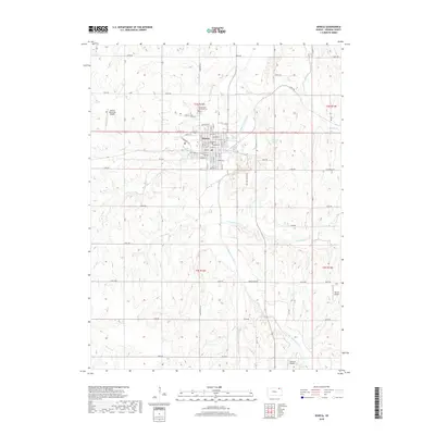
Loading map...1894 Map of Seneca
USGS Topo · Published 1916About this map
The Nemaha River and its numerous tributaries, such as Wildcat Creek and Turkey Creek, define the landscape of northeast Kansas in this late 19th-century survey. The region is characterized by a mature agricultural and transportation network, with Seneca serving as a central hub. Three distinct rail lines cut across the terrain, including the St. Joseph and Grand Island Railroad in the north and the Missouri Pacific Railroad through the center, illustrating the vital role of steam transport in connecting rural prairie towns.
Find a feature on this map
78 named features on this map. Tap any name to fly to it.
Don’t see what you’re looking for? This feature index may not catch every label — zoom into the map to look around manually.
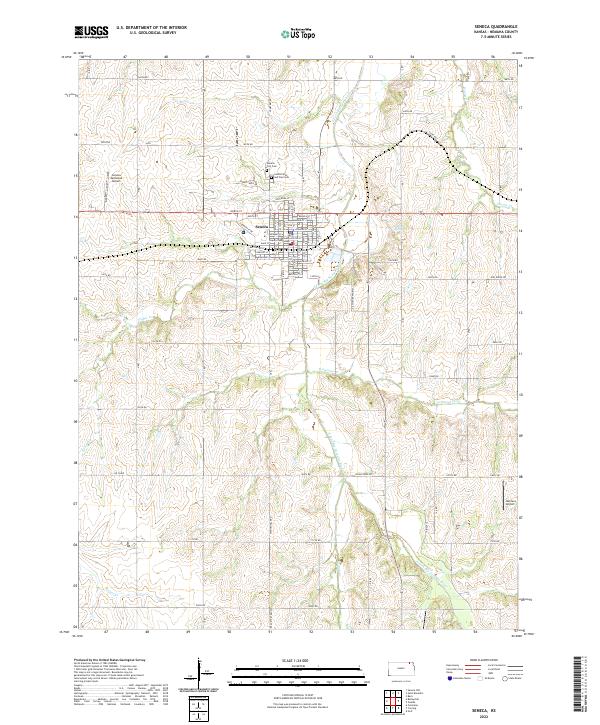
Map Details
Date Portrayed1894
Date Published1916
PublisherU.S. Geological Survey
Map TypeTopographic
Scale1:125,000
Physical Dimensions16.05 x 19.84 inches
Editions of this 1894 Seneca Map
4 editions found
Historical Maps of Seneca Through Time
8 maps found

Featured Locations
Source Details
SourceU.S. Geological Survey
CopyrightPublic Domain