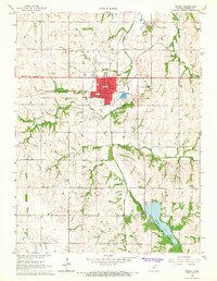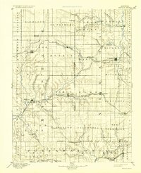
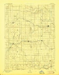
1894 Map of Seneca
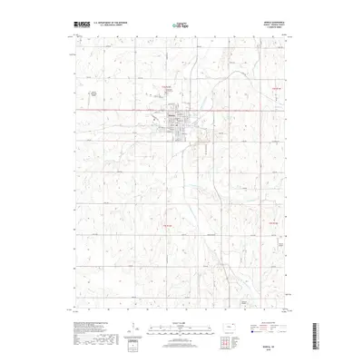
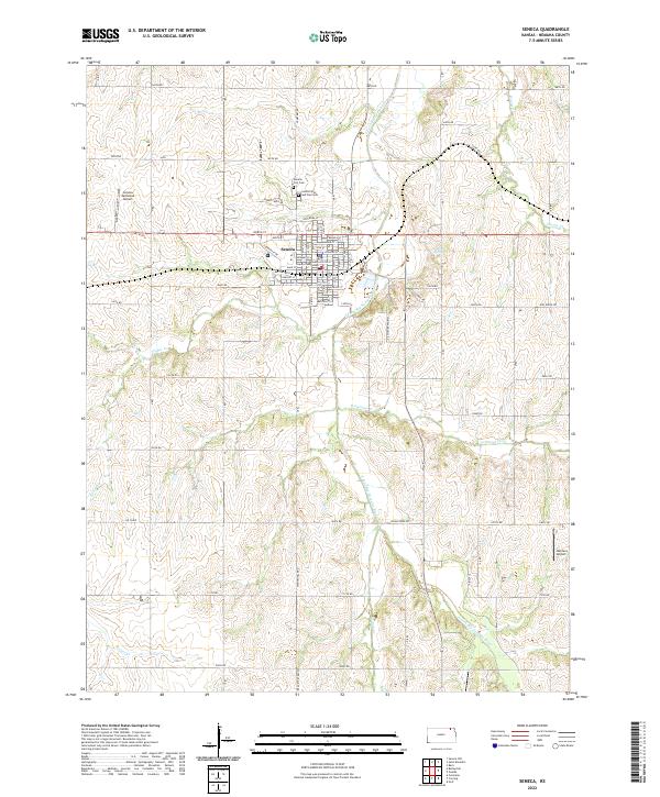
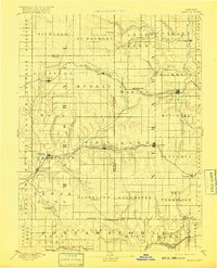
USGS Topo · Published 1932About this map
The Nemaha River and Black Vermilion River systems anchor this late 19th-century study of northeast Kansas, illustrating a landscape defined by its river-and-rail economy. The map traces the critical rail corridors that spurred growth in the region, including the St Joseph and Grand Island Railroad and the Missouri Pacific Railroad. Between these steel lines, rural life is marked by small agricultural hubs and family-named townships like Guittard and Balderson. Notable for genealogists are the numerous established and nascent settlements such as Seneca, Frankfort, and Centralia. Local landmarks such as Guittard Station and Taylor Rapids provide specific points of interest for those tracking family land or vanished crossroads. The complex network of watercourses, including Vermilion Creek and Turkey Creek, highlights the importance of drainage and water access in the settlement of the Kansas prairie during this era of western expansion.
Find a feature on this map
80 named features on this map. Tap any name to fly to it.
Don’t see what you’re looking for? This feature index may not catch every label — zoom into the map to look around manually.
Map Details
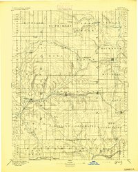
Editions of this 1894 Seneca Map
4 editions found
Historical Maps of Seneca Through Time
8 maps found